
Licensed cadastral surveyors
The people who sign the plans. Boundary reinstatement, subdivision, cross lease and setout that LINZ and councils will accept.
Licensed cadastral surveyors, GIS and photogrammetry specialists, and planners, led by Nima Khalili. The mix that lets one Hamilton practice cover land, drone and spatial work.
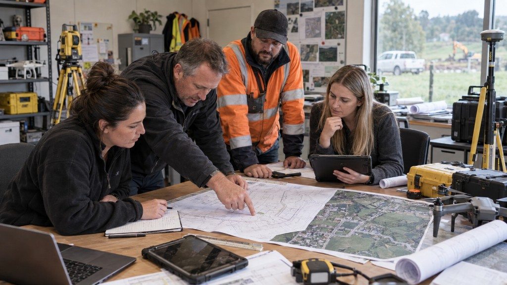
The people who sign the plans. Boundary reinstatement, subdivision, cross lease and setout that LINZ and councils will accept.
Drone processing, orthomosaics, terrain models and spatial analysis, so a flight becomes a dataset you can design from.
District plan feasibility, advice and consent applications sitting next to the survey team, not in a separate office in another city.
FAQ
Yes. Cadastral surveys requiring statutory authorisation are undertaken under the responsibility of a Licensed Cadastral Surveyor, in accordance with applicable New Zealand legislation and LINZ requirements. Our services include subdivision surveys, boundary reinstatement, cross lease updates and title conversions.
Free quote
A licensed team covering Waikato, Auckland and the Bay of Plenty. No obligation, just a clear cost and a date you can plan around.