
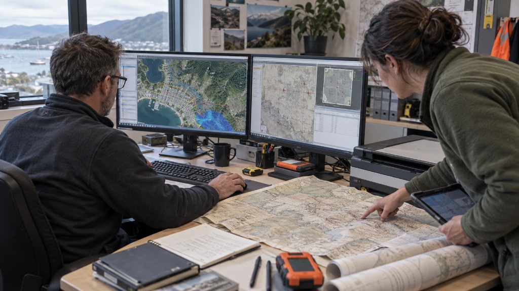
Many New Zealand organisations never get full value from spatial data. The files are in the wrong format, the paper maps were never captured, or there is no structured database, so the information is hard, sometimes impossible, to find. There is a better way.
How we work
We deliver GIS services matched to your organisation, then leave you with data in a structure you can actually use. We work with you, and for you, until that is true.
Building spatial datasets
Uncategorised spatial data is slow and easy to misuse. We categorise what you have, build datasets and databases, and make it simple to find, link and merge information.
Data conversion
Right data, wrong format? We convert between GIS platforms, raster and vector, and reproject between coordinate systems.
Digitising & georeferencing
Historic paper maps hold useful data that is hard to analyse. We scan, capture and georeference them so they sit in the real world and can be used alongside other GIS layers.
Geocoding
We turn addresses into locations, and coordinates back into readable addresses, so you can analyse address data in a GIS with a high match rate.
Consultancy, capture, analysis
Independent GIS consultancy (not tied to a software vendor), data capture from parcels to utilities to imagery, and spatial analysis of surfaces, networks and locations: routing, visibility, facility siting, flood and more.
Project management & training
Surveyors, GIS specialists, engineers and planners can take a project from plan through delivery. We also train your team, so the tools stay useful after we leave.
GIS applications
- Mapping
- Telecom and network services
- Accident and hotspot analysis
- Urban and transport planning
- Environmental impact analysis
- Agriculture and dairy
- Disaster management
- Flood analysis
- Natural resource and irrigation management
- Asset management
- Pest control
- Landslide hazard zonation
- Land use / land cover change
- Soil mapping
- Land information systems
- Image processing