
Our Services
From boundary surveys in Hamilton to drone mapping of greenfield sites across the Waikato, DLS provides surveying, planning, engineering and geospatial services tailored to your project.
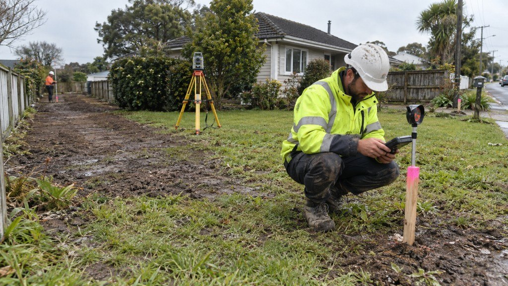 Cadastral
Subdivisions
From start to end including feasibility, consent, subdividing land and obtaining titles.
Read more
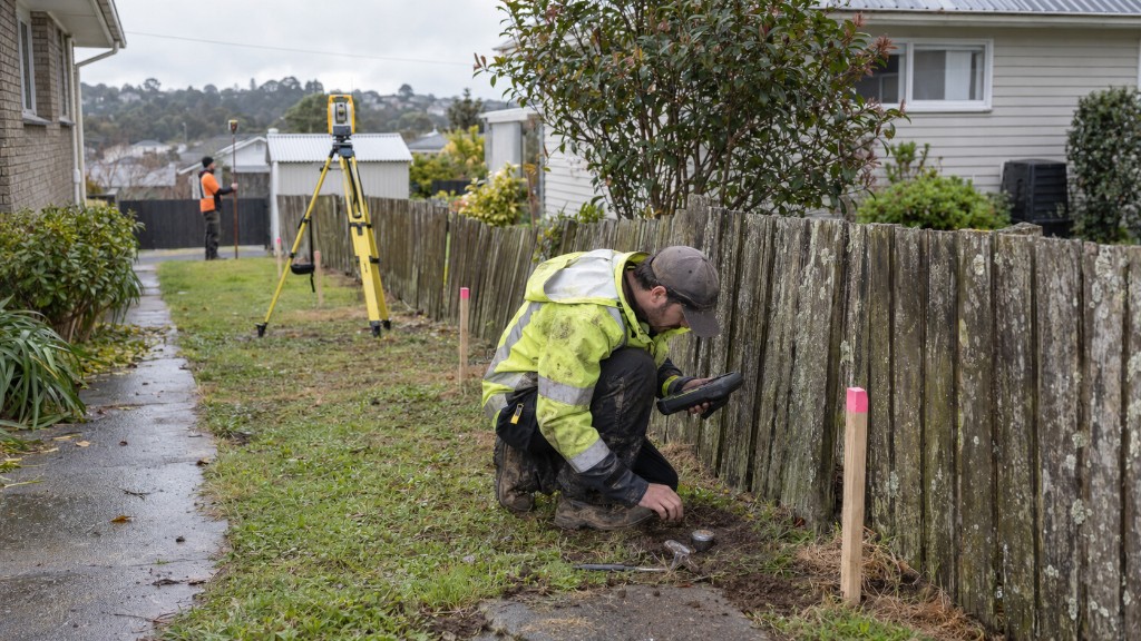 Cadastral
Boundary Surveys
Reinstatement for LINZ, or a clear identification survey before you fence.
Read more
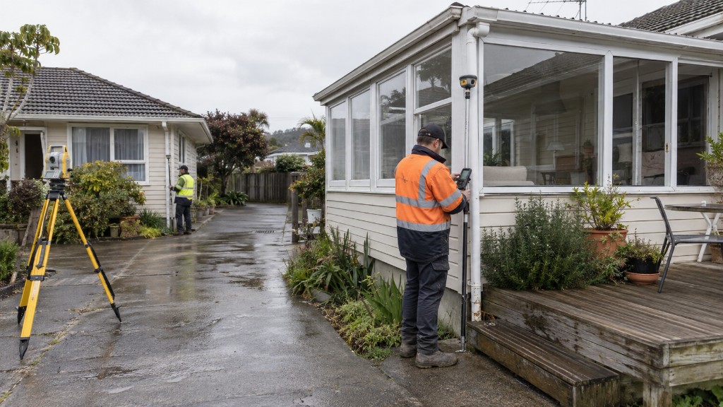 Cadastral
Cross Lease Update
Bring a defective flats plan in line with what actually stands on the ground.
Read more
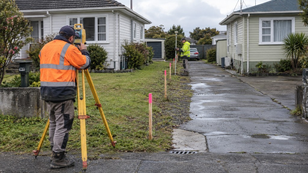 Cadastral
Cross Lease to Freehold
Convert a cross lease to fee simple and add real value to the record of title.
Read more
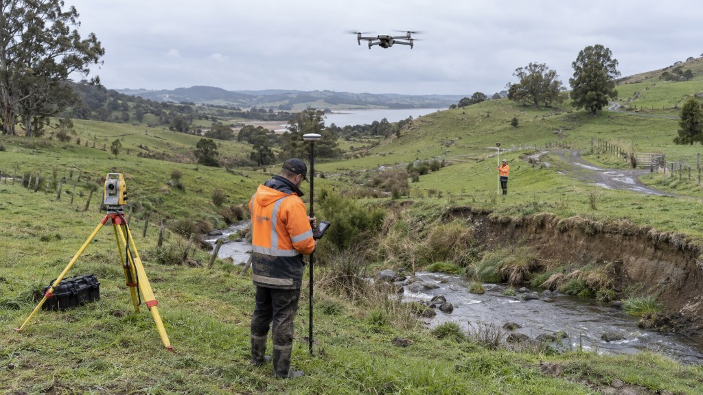 Field
Topographical Surveys
Site surveys for architects, landscape and structural design.
Read more
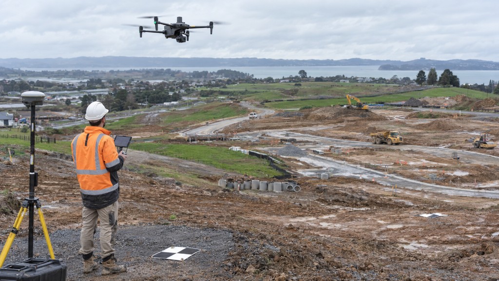 Aerial
Drone Surveys
Orthomosaics, terrain models and feature mapping over large sites, efficiently.
Read more
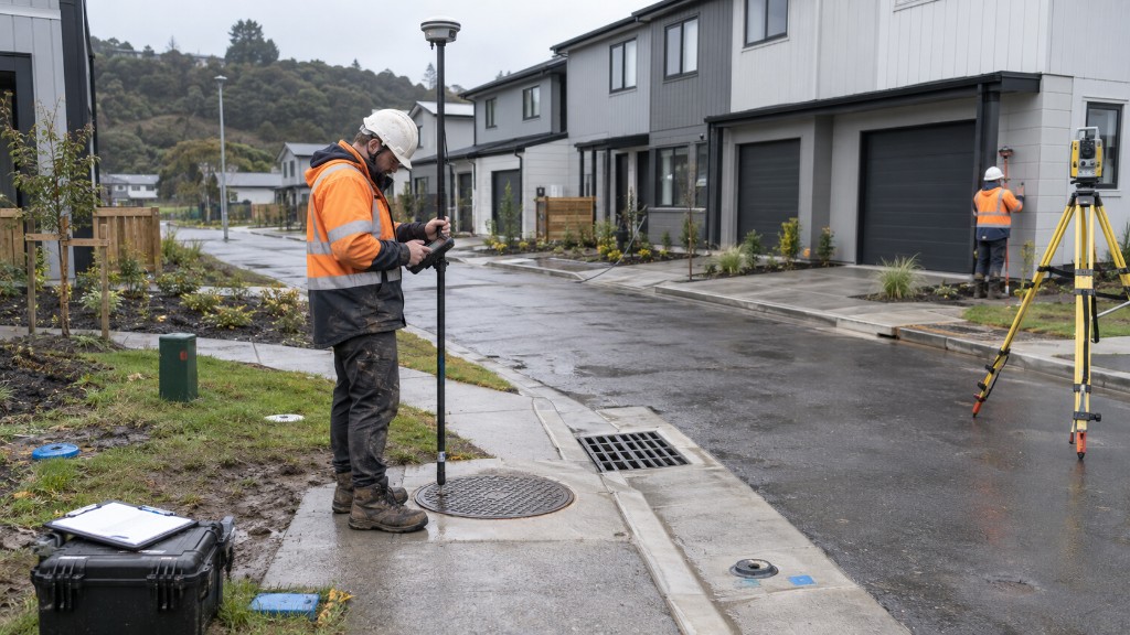 Field
As Built Surveys
Document what was actually built: buildings, services and site works.
Read more
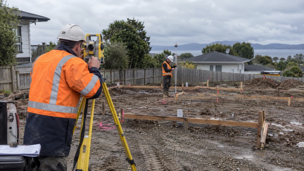 Construction
Setout Surveys
Place the design on the ground so the build matches the drawings, and the rules.
Read more
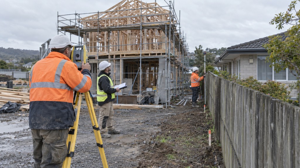 Cadastral
Height to Boundary
How close, and how high, before you breach the district plan envelope.
Read more
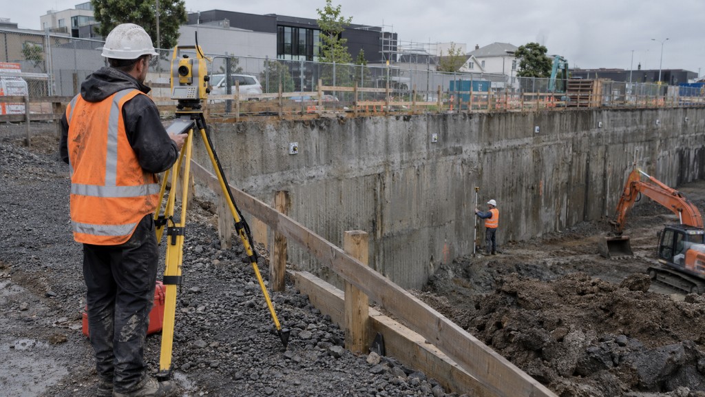 Field
Monitoring Surveys
Repeat measurements that quantify movement or deflection over time.
Read more
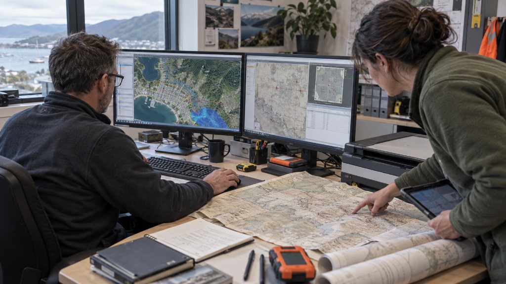 GIS
GIS Analysis
Spatial data, conversion, analysis and training, structured so you can actually use it.
Read more
FAQ
Which survey do you actually need?
What does DL Surveys do?
Drone & Land Surveys Limited (DL Surveys) is a Hamilton based surveying practice providing cadastral surveying, subdivisions, boundary surveys, topographical surveys, drone surveying, setout, as built surveys, monitoring, GIS and photogrammetry services. We also provide planning and engineering services across the Central North Island of New Zealand.
When is a drone survey better than a traditional topographic survey?
Drone surveying can be efficient for large sites and can provide high resolution aerial imagery, orthomosaics, contours and terrain models. Total station and GNSS surveys may be more suitable for confined sites, areas with heavy vegetation, or work requiring specific ground measurements and cadastral marks. We recommend the survey method based on your site conditions and accuracy requirements.
Can you convert a cross lease to a freehold title?
We can assist with cross lease to fee simple (freehold) conversions, including the surveying and plan preparation involved. The process depends on the property, existing titles, council requirements and any necessary approvals. We can assess your property and advise on the steps involved.
Free quote
Tell us about your project. We'll provide a timeframe.
A licensed team covering Waikato, Auckland and the Bay of Plenty. No obligation, just a clear cost and a date you can plan around.