
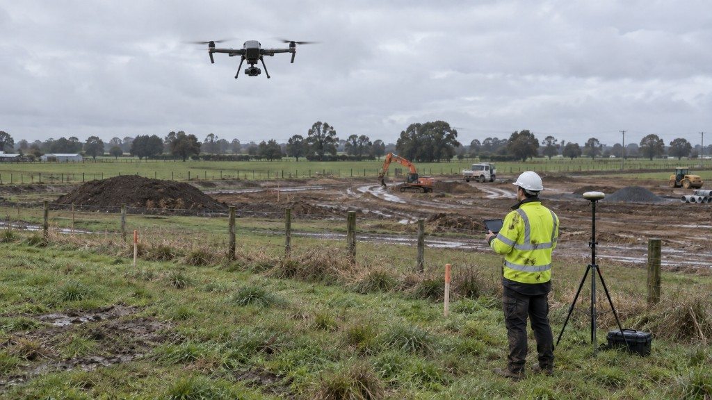
Drone Survey
Drone survey in Eureka
Eureka, Waikato
Aerial capture of a rural site, orthomosaic and topography delivered faster than a full ground campaign.
A sample of drone, topographic, setout, as built and subdivision jobs. Filter by type to find a similar project.
Drone Survey
Eureka, Waikato
Aerial capture of a rural site, orthomosaic and topography delivered faster than a full ground campaign.
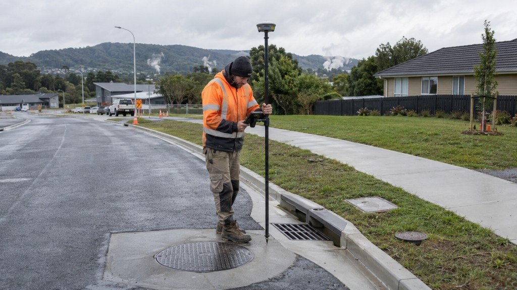
As Built Survey
Rotorua
Documented the constructed works for council compliance after development.
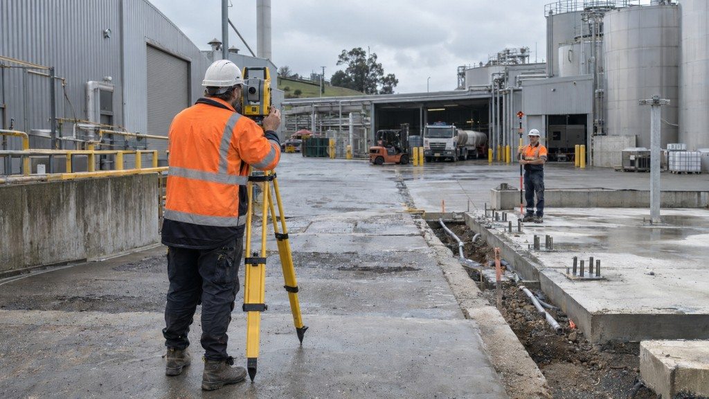
Topographical Survey
Morrinsville
Full topographic survey of an industrial site to support design and development.
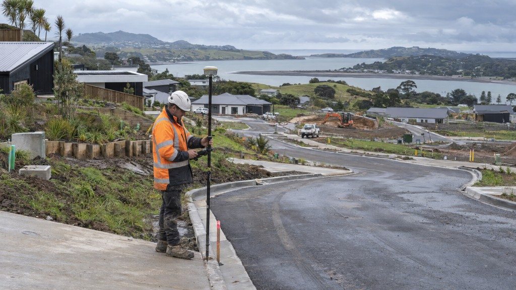
Topographical Survey
Raglan
Topographical survey supporting a significant residential development on the Raglan coast.
Topographical Survey
Rotorua
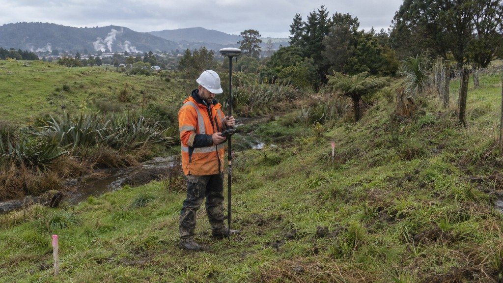
Site levels, features and contours for architectural and civil design.
Subdivision
Waikato
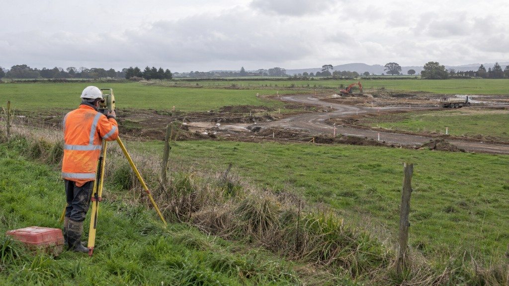
Subdivision survey for a greenfield development, from feasibility through to new titles.
Setout Survey
Rotorua
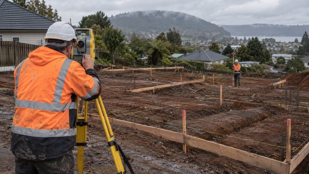
Building setout so construction sat exactly on the approved design.
Subdivision
Tauranga
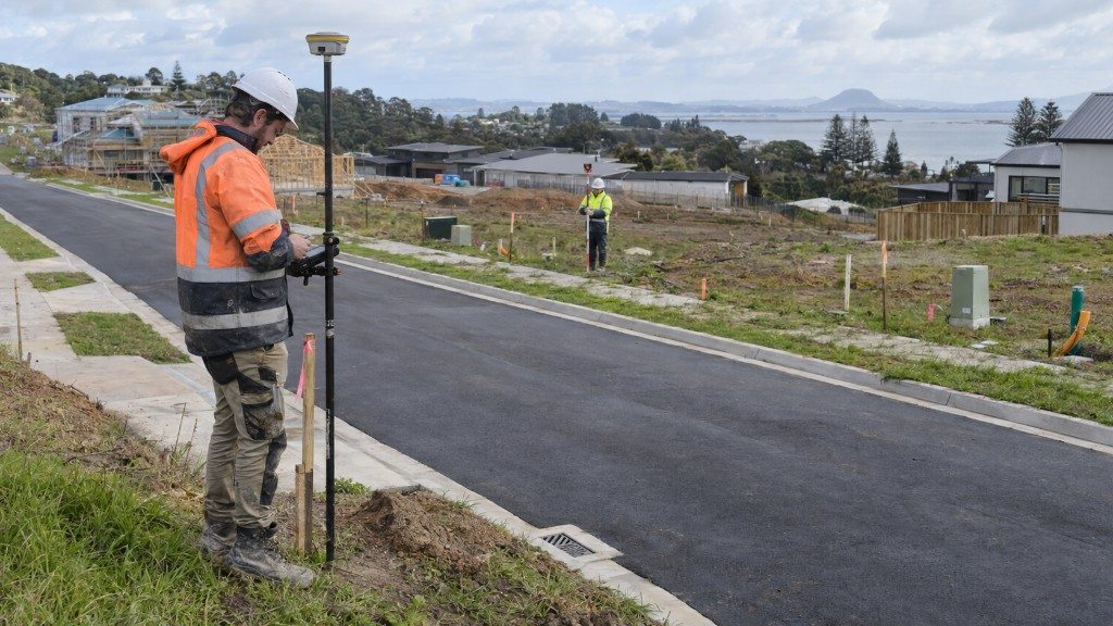
Cadastral subdivision in the Bay of Plenty, delivered for title issue.
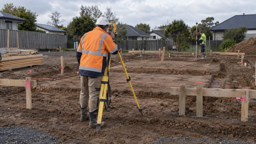
Setout Survey
Hamilton
Setout of a new building relative to boundaries in Flagstaff, Hamilton.
Free quote
A licensed team covering Waikato, Auckland and the Bay of Plenty. No obligation, just a clear cost and a date you can plan around.