
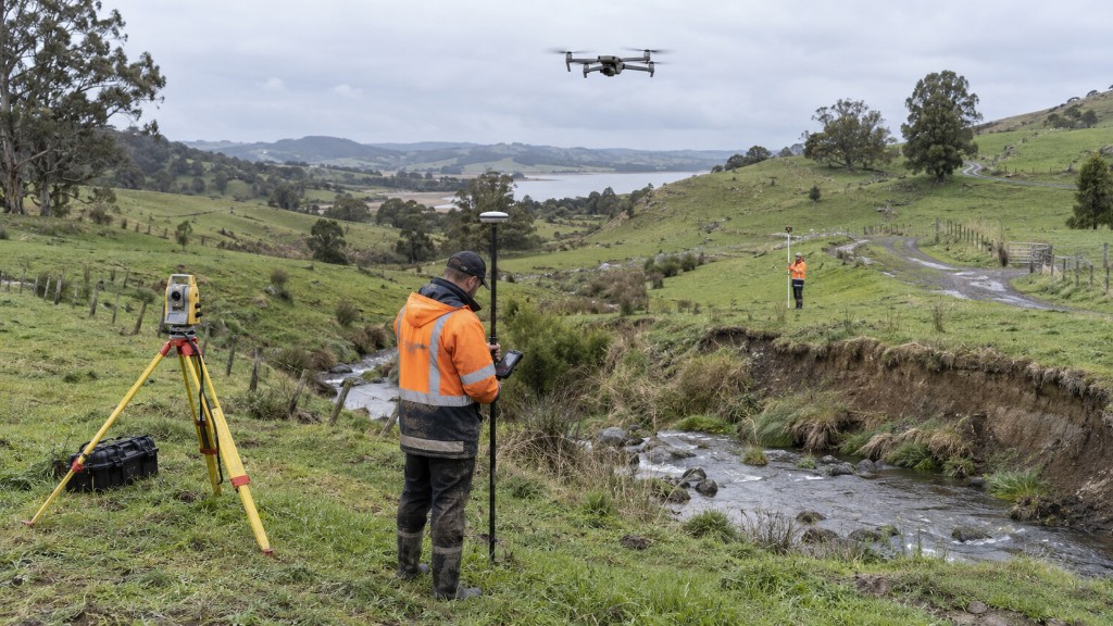
A topographic (site) survey records coordinates and heights across a site. From that data we produce spot height maps, contours, or a full terrain model for architectural, landscape or structural design.
Two ways to capture the site
Traditional land survey with total station and GNSS, or a drone survey. The drone also delivers a high resolution orthomosaic, which makes the topography far easier to read, and is usually faster and more cost effective on large sites.