Skip to content

Cadastral

Subdivisions

Turn one parcel into several, or relocate a boundary, with a survey that councils and LINZ will accept.

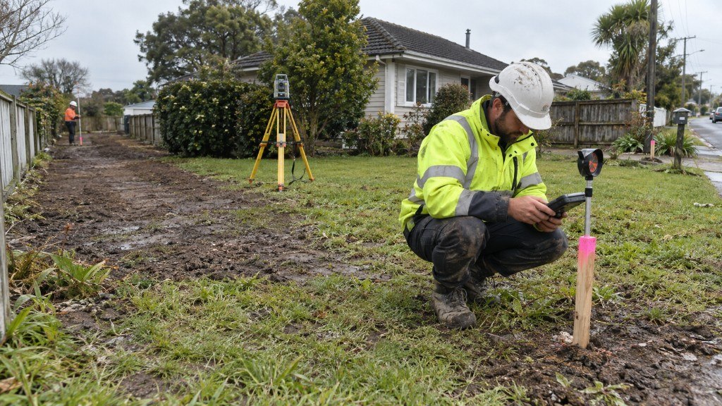
Subdivision Surveys in cadastral work across Waikato, Auckland and the Bay of Plenty

Subdivision is the process of dividing a parcel of land or a building into further parcels, or changing an existing boundary. It is as much about district plan rules as it is about the tape on the ground.

What we do

We assess whether a subdivision is feasible under the operative district plan of the relevant council, then carry the survey through to new records of title. Early advice often saves a full redesign later.

Who it is for

Landowners, developers and architects planning a greenfield split, an infill lot, or a unit title arrangement anywhere in Waikato, Auckland or the Bay of Plenty.

FAQ

About subdivision surveys.

What is a subdivision survey in New Zealand?

A subdivision survey divides a parcel of land or a building into further parcels, or changes an existing boundary. It has to satisfy the operative district plan and be lodged with LINZ so new records of title can issue.

How long does a subdivision take?

Time depends on council processing, the complexity of the scheme and LINZ lodgement. We give a realistic programme with the free quote rather than a generic number that will not hold.

Free quote

Tell us about your project. We'll provide a timeframe.

A licensed team covering Waikato, Auckland and the Bay of Plenty. No obligation, just a clear cost and a date you can plan around.

Request a quote