Skip to content

Aerial

Drone Surveys

Orthomosaic image, a high resolution aerial image of the whole site, not just a handful of ground shots.

Drone Surveys in aerial work across Waikato, Auckland and the Bay of Plenty

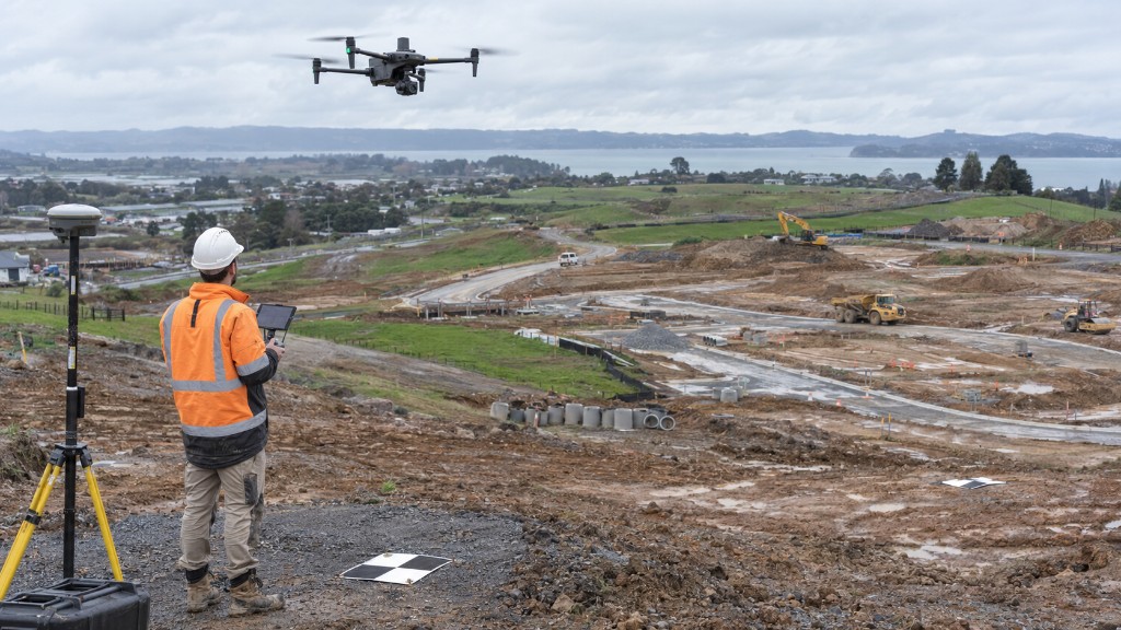
Drone surveys give you a topographic plan and a high resolution aerial (orthomosaic) image of the site. That image makes the topography far easier to interpret, and large jobs finish in a fraction of the time, which keeps the cost down.

What you receive

We fly, process and deliver mapping products that architects, engineers and GIS teams can use immediately.

FAQ

About drone surveys.

What do I receive from a drone survey?

Typically a high resolution orthomosaic, a topographical plan, feature mapping, a digital elevation model, ground contours, point cloud and a digital surface model, files architects, engineers and GIS teams can use immediately.

Free quote

Tell us about your project. We'll provide a timeframe.

A licensed team covering Waikato, Auckland and the Bay of Plenty. No obligation, just a clear cost and a date you can plan around.

Request a quote